snow
Type of resources
Available actions
Topics
Keywords
Contact for the resource
Provided by
Representation types
Update frequencies
status
Scale
-

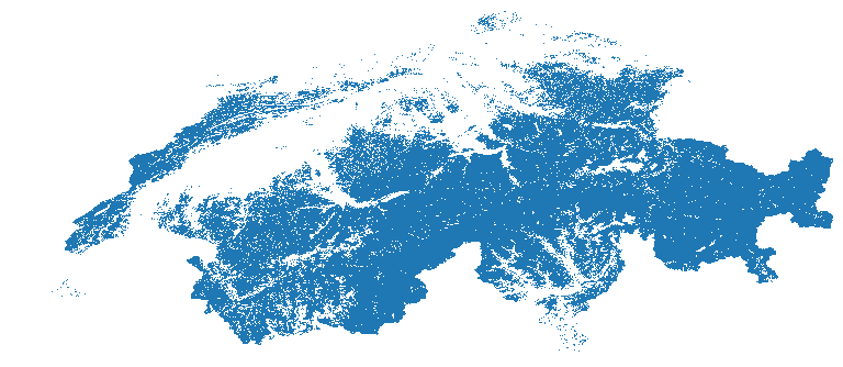
This dataset is a time-series of monthly snow cover maps over Switzerland computed from Landsat & Sentinel-2 Analysis Ready Data (ARD) for December 1984 to December 2021 These maps quantify the presence/absence of snow using the Snow Observation from Space algorithm developed by Poussin et al. in: https://doi.org/10.1016/j.srs.2023.100078 and in a submitted paper (Snow Observation from Space: An approach to map snow cover from four decades of Landsat and Sentinel-2 imageries across Switzerland). Snow cover is an Essential Climate Variables (ECV) playing a significant role in the climate system due to its high albedo and heat insulation. Snow cover also contributes to soil moisture and runoff, making it a crucial variable for monitoring climate change. Values ranges from 0 to 2. The monthly snow cover products have values ranging from 0 to 2 with the following classification for each pixel: • 0 when the pixel is snow-free (i.e., land), • 1 when the pixel is covered with snow, • 2 when the pixel is covered with clouds (including cloud shadow), • NA when the pixel is classified as water or lies outside of Switzerland. Data format: GeoTiff
 SwissEnvEO