asNeeded
Type of resources
Available actions
Topics
Keywords
Contact for the resource
Provided by
Formats
Representation types
Update frequencies
status
Scale
-
This dataset is an time-serie of Sentinel-2 Analysis Ready Data (ARD)- derived Anthocyanin Reflectance Index (ARI) computed from Sentinel-2 data. ARI is is a reflectance measurement, sensitive to vegetation pigment content using the forumla ARI = (1/b3) - (1/b5). See Gitelson et al. (2009) DOI: 10.3732/ajb.0800395. Anthocyanins are pigments common in higher plants, causing their red, blue and purple coloration. They provide valuable information about the physiological status of plants, as they are considered indicators of various types of plant stresses. The reflectance of anthocyanin is highest around 550nm. However, the same wavelengths are reflected by chlorophyll as well. To isolate the anthocyanins, the 700nm spectral band, that reflects only chlorophyll and not anthocyanins, is subtracted. ARI values for the examined trees in this original article ranged in values from 0 to 0.2. Values are provided as integer and multiplied by 1000 Metrics: annual (_annual) and seasonal (_spring; _summer; _autumn; _winter) mean (_nanmean), standard dev (_nanstd), min (_nanmin), max (_nanmax), median (_nanmedian), and amplitude (_range) Data format: GeoTiff
-
This dataset is an time-serie of Sentinel-2 Analysis Ready Data (ARD)- derived Moisture Stress Index (MSI) computed from Sentinel-2 data. MSI is a reflectance measurement, sensitive to increases in leaf water content using the forumla MSI=b11/b8. See Rock et al. (1985) DOI: As water content in vegetation canopy leaves increases, the absorbtion at wavelengths around 1599 nm also increases. Absorption at 819nm is used as a reference, since it’s nearly unaffected by changes in water content. Applications of the MSI include canopy stress analysis, productivity prediction and modelling, fire hazard analysis, and studies of ecosystem physiology. The index is inverted relative to the other water vegetation indices; higher values indicate greater water stress and less water content. The values of this index range from 0 to more than 3. The common range for green vegetation is 0.4 to 2. Values are provided as integer and multiplied by 1000 Metrics: annual (_annual) and seasonal (_spring; _summer; _autumn; _winter) mean (_nanmean), standard dev (_nanstd), min (_nanmin), max (_nanmax), median (_nanmedian), and amplitude (_range) Data format: GeoTiff
-
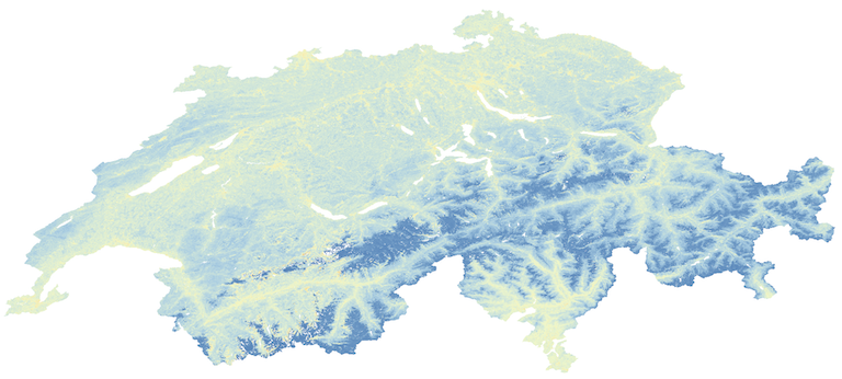
This dataset is an annual time-serie of Landsat Analysis Ready Data (ARD)-derived Normalized Difference Water Index (NDWI) computed from Landsat 5 Thematic Mapper (TM) and Landsat 8 Opeational Land Imager (OLI). To ensure a consistent dataset, Landsat 7 has not been used because the Scan Line Correct (SLC) failure creates gaps into the data. NDWI quantifies plant water content by measuring the difference between Near-Infrared (NIR) and Short Wave Infrared (SWIR) (or Green) channels using this generic formula: (NIR - SWIR) / (NIR + SWIR) For Landsat sensors, this corresponds to the following bands: Landsat 5, NDVI = (Band 4 – Band 2) / (Band 4 + Band 2). Landsat 8, NDVI = (Band 5 – Band 3) / (Band 5 + Band 3). NDWI values ranges from -1 to +1. NDWI is a good proxy for plant water stress and therefore useful for drought monitoring and early warning. NDWI is sometimes alos refered as Normalized Difference Moisture Index (NDMI) Standard Deviation is also provided for each time step. Data format: GeoTiff This dataset has been genereated with the Swiss Data Cube (http://www.swissdatacube.ch)
-
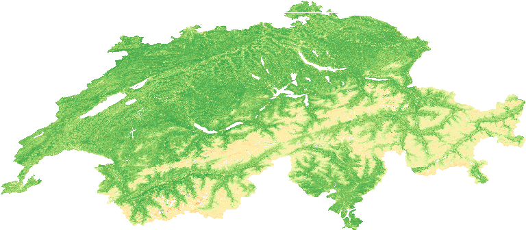
This dataset is an annual time-serie of Landsat Analysis Ready Data (ARD)-derived Normalized Difference Vegetation Index (NDVI) computed from Landsat 5 Thematic Mapper (TM) and Landsat 8 Opeational Land Imager (OLI). To ensure a consistent dataset, Landsat 7 has not been used because the Scan Line Correct (SLC) failure creates gaps into the data. NDVI quantifies vegetation by measuring the difference between near-infrared (which vegetation strongly reflects) and red light (which vegetation absorbs) using this generic formula: (NIR - R) / (NIR + R) For Landsat sensors, this corresponds to the following bands: Landsat 5, NDVI = (Band 4 – Band 3) / (Band 4 + Band 3). Landsat 8, NDVI = (Band 5 – Band 4) / (Band 5 + Band 4). NDVI values ranges from -1 to +1. NDVI is used to quantify vegetation greenness and is useful in understanding vegetation density and assessing changes in plant health. Standard Deviation is also provided for each time step. Data format: GeoTiff This dataset has been genereated with the Swiss Data Cube (http://www.swissdatacube.ch)
-
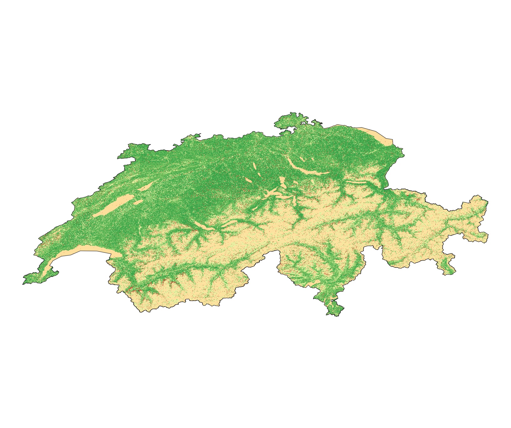
This dataset is an time-serie of Sentinel-2 Analysis Ready Data (ARD)- derived Enhanced Vegetation Index (EVI) computed from Sentinel-2 data. EVI quantifies vegetation by measuring the difference between near-infrared (which vegetation strongly reflects) and red light (which vegetation absorbs) using the forumla EVI=2.5*(b8 − b4)/(b8 + 6*b4 − 7.5*b2 + 1). See Huete et al. (2002) DOI: 10.1016/S0034-4257(02)00096-2 EVI is usually used for areas with high LAI where NDVI is expected to saturate. EVI is used to quantify vegetation greenness and is useful in understanding vegetation density and assessing changes in plant health. EVI values ranges from -1 to +1. Values are provided as integer and multiplied by 1000 Metrics: annual (_annual) and seasonal (_spring; _summer; _autumn; _winter) mean (_nanmean), standard dev (_nanstd), min (_nanmin), max (_nanmax), median (_nanmedian), and amplitude (_range) Data format: GeoTiff
-
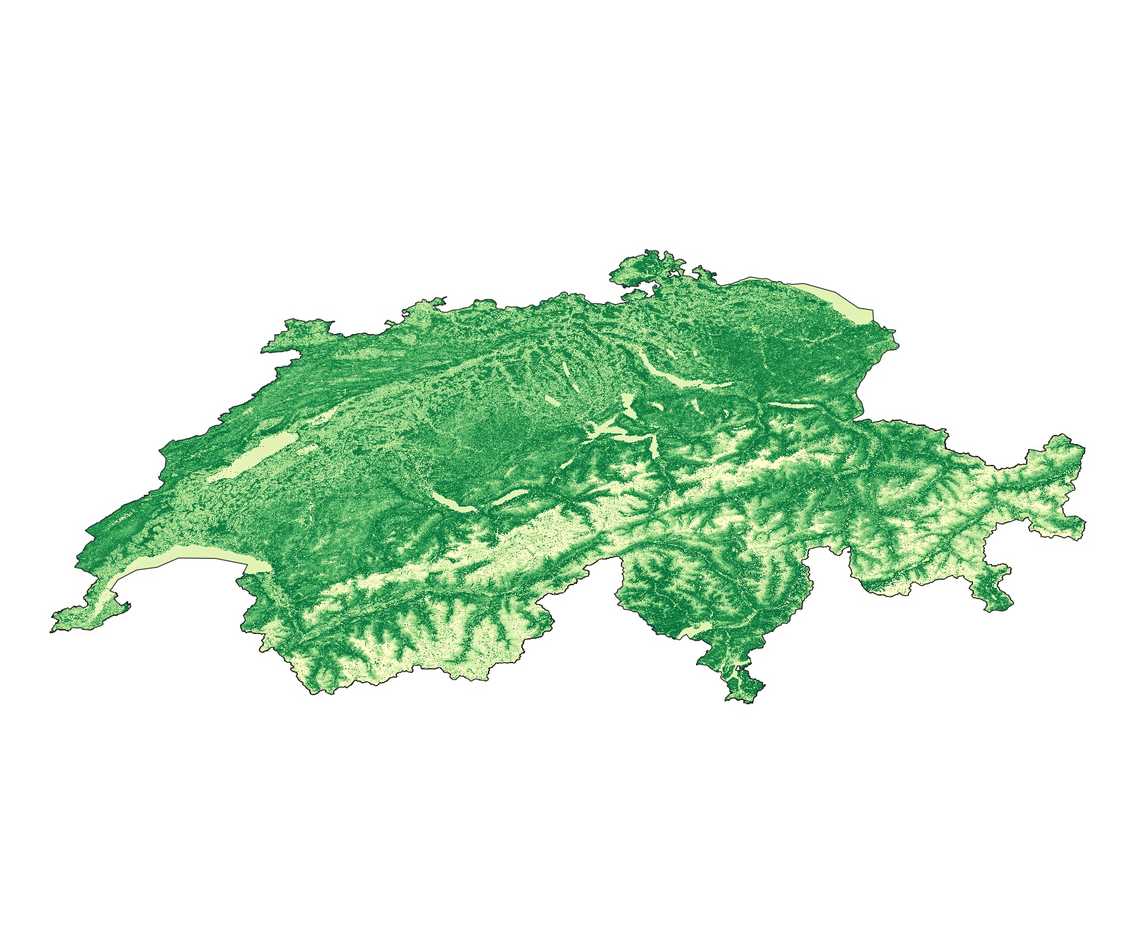
This dataset is an time-serie of Landsat Analysis Ready Data (ARD)- derived Leaf Area Index (LAI) computed from Landsat 5-7-8 data. LAI is designed to analyze the foliage surface of our planet and it estimates the quantity of leaves in a specific region using the forumla LAI= 3.618*EVI - 0.118. For more details see Boegh et al. (2002) DOI: 10.1016/S0034-4257(01)00342-X LAI is a unitless measure that is calculated as the ratio of the one-sided (illuminated) foliage area to the soil surface it can cover. This vegetation index is important to monitor crop and forest health, the environment, and climatic conditions. Values are provided as integer and multiplied by 1000 Metrics: annual (_annual) and seasonal (_spring; _summer; _autumn; _winter) mean (_nanmean), standard dev (_nanstd), min (_nanmin), max (_nanmax), median (_nanmedian), and amplitude (_range) Data format: GeoTiff
-
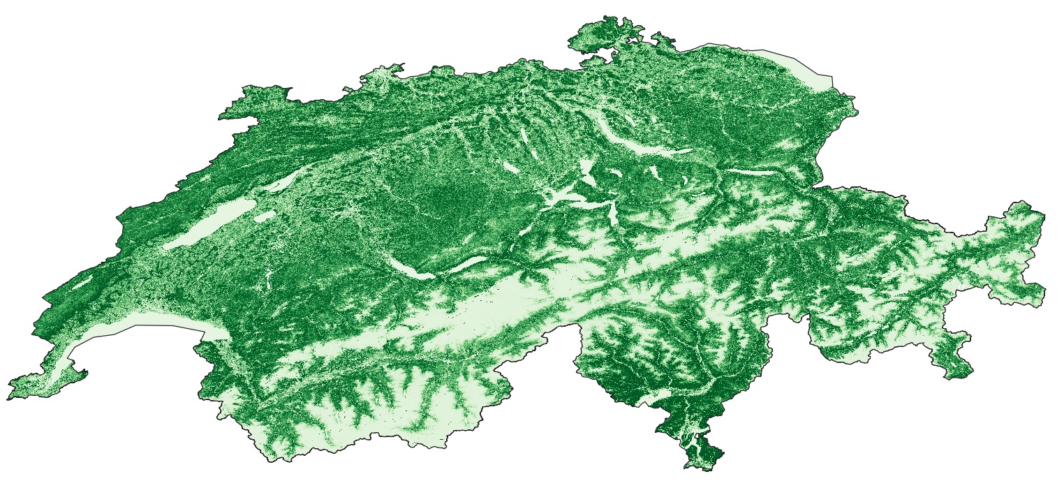
This dataset is an time-serie of Sentinel-2 Analysis Ready Data (ARD)- derived Green Chlorophyll Vegetation Index (GCI) computed from Sentinel-2 data. GCI is used to estimate the content of leaf chlorophyll in various species of plants using the forumla GCI=(b8/b3) – 1. See Gitelson et al. (2003) DOI: 10.1029/2002gl016450 The chlorophyll content reflects the physiological state of vegetation; it decreases in stressed plants and can therefore be used as a measurement of vegetation health. GCI values ranges from -1 to +1. Values are provided as integer and multiplied by 1000 Metrics: annual (_annual) and seasonal (_spring; _summer; _autumn; _winter) mean (_nanmean), standard dev (_nanstd), min (_nanmin), max (_nanmax), median (_nanmedian), and amplitude (_range) Data format: GeoTiff
-
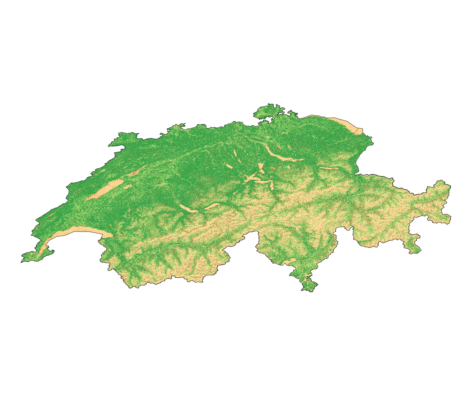
This dataset is an time-serie of Landsat Analysis Ready Data (ARD)- derived Enhanced Vegetation Index (EVI) computed from Landsat 5-7-8 data. EVI quantifies vegetation by measuring the difference between near-infrared (which vegetation strongly reflects) and red light (which vegetation absorbs) using the forumla EVI=2.5*(NIR − Red)/(NIR + 6*Red − 7.5*Blue + 1) . See Huete et al. (2002) DOI: 10.1016/S0034-4257(02)00096-2 EVI values ranges from -1 to +1. Values are provided as integer and multiplied by 1000 Metrics: annual (_annual) and seasonal (_spring; _summer; _autumn; _winter) mean (_nanmean), standard dev (_nanstd), min (_nanmin), max (_nanmax), median (_nanmedian), and amplitude (_range) Data format: GeoTiff
-
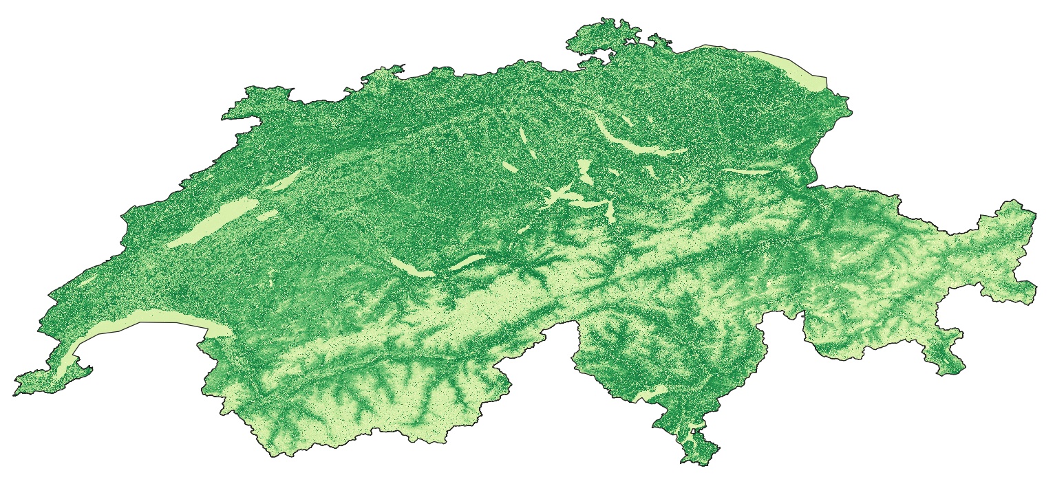
This dataset is an time-serie of Sentinel-2 Analysis Ready Data (ARD)- derived Leaf Area Index (LAI) computed from Sentinel-2 data. LAI is designed to analyze the foliage surface of our planet and it estimates the quantity of leaves in a specific region using the forumla LAI= 3.618*EVI - 0.118. For more details see Boegh et al. (2002) DOI: 10.1016/S0034-4257(01)00342-X LAI is a unitless measure that is calculated as the ratio of the one-sided (illuminated) foliage area to the soil surface it can cover. This vegetation index is important to monitor crop and forest health, the environment, and climatic conditions. Values are provided as integer and multiplied by 1000 Metrics: annual (_annual) and seasonal (_spring; _summer; _autumn; _winter) mean (_nanmean), standard dev (_nanstd), min (_nanmin), max (_nanmax), median (_nanmedian), and amplitude (_range) Data format: GeoTiff
-

This dataset is a seasonal time-series of Landsat Analysis Ready Data (ARD)-derived Normalized Difference Vegetation Index (NDVI) computed from Landsat 5 Thematic Mapper (TM) and Landsat 8 Opeational Land Imager (OLI). To ensure a consistent dataset, Landsat 7 has not been used because the Scan Line Correct (SLC) failure creates gaps into the data. NDVI quantifies vegetation by measuring the difference between near-infrared (which vegetation strongly reflects) and red light (which vegetation absorbs) using this generic formula: (NIR - R) / (NIR + R) For Landsat sensors, this corresponds to the following bands: Landsat 5, NDVI = (Band 4 – Band 3) / (Band 4 + Band 3). Landsat 8, NDVI = (Band 5 – Band 4) / (Band 5 + Band 4). NDVI values ranges from -1 to +1. NDVI is used to quantify vegetation greenness and is useful in understanding vegetation density and assessing changes in plant health. Standard Deviation is provided in a separate dataset for each time step. Spring: March-April_May (_MAM) Summer: June-July-August (_JJA) Autumn: September-October-November (_SON) Winter: December-January-February (_DJF) Data format: GeoTiff This dataset has been genereated with the Swiss Data Cube (http://www.swissdatacube.ch)
 SwissEnvEO